Projects on the board
Released, in development and proposed work, with the stage each one has reached.
- Idea and feasibility
- Research and design
- Prototype
- Testing and evaluation
- Field pilot
- Approval and release
| Project | What it does |
|---|---|
| Conversational reporting and mapping Released | Ask Jirani AI asks only what is missing, then opens the Report or Map a place form filled in. The user checks, adds photos and sends. |
| Sector reports in QGIS Released | Staff of a utility see the reports sent to them on their GIS maps, at the exact point, and reply or mark them as being fixed. |
| Kiswahili answer-quality guard Released | Detects looping answers and unwanted greetings and hands the question to a backup model. |
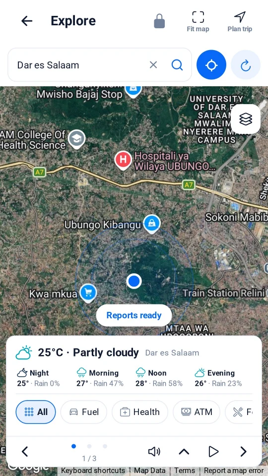
| Privacy-preserving users map and hotspots Released | Last known positions as moved circles coloured by availability, with a hotspot layer; no names or points. |
| Spoken Guide with natural voice Released | AI-written local briefings read aloud in Kiswahili or English. |
| Water utility pilot Proposed pilot | A 3-month pilot of AI-supported citizen reporting with an urban water authority, measuring participation, AI accuracy and response times. |
| Jirani Spatial Intelligence Engine Research and design | An experimental engine combining location data, community observations and AI-assisted analysis. |
| Developer portal Planned | Developer accounts, API keys, usage monitoring, documentation and a sandbox at developers.jiranilab.com. |
| Playground Planned | Public demos of experimental AI and geospatial tools at playground.jiranilab.com. |
Jirani Spatial Intelligence Engine
Combines where things are, what communities report and AI-assisted analysis to answer questions such as "where do water problems keep coming back?"
Stage
Research and design
Next milestone
Prototype on anonymised, aggregated report locations.